
Share this Source:
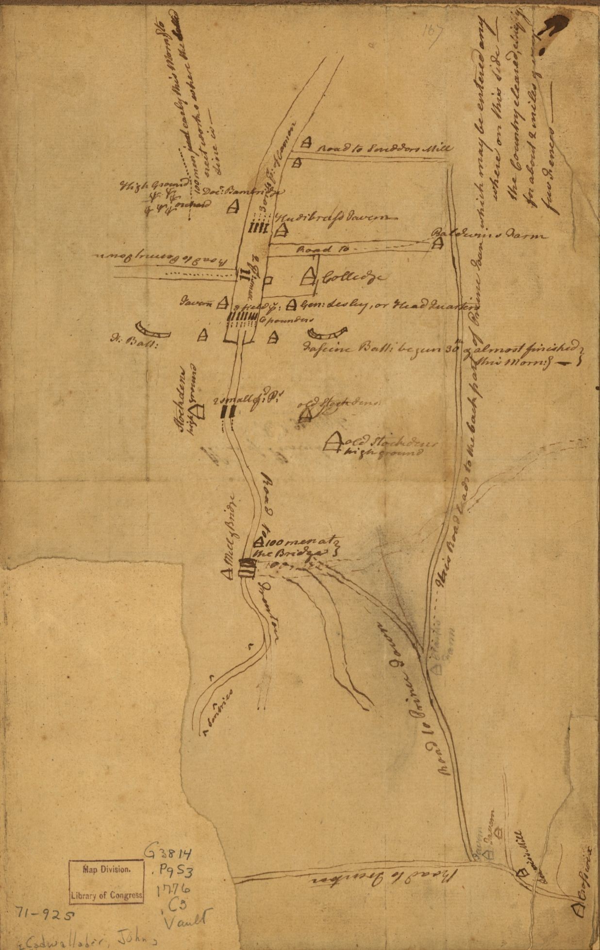
John Cadwalader's "Spy Map" of Princeton
1776 Colonial & Early National (1746-1820)John Cadwalader's 1776 "spy map" of Princeton, displaying the Bainbridge House.
Source
Publisher
Format
JPG
Item Type
Still image
John Cadwalader, “Plan of Princeton, Dec. 31, 1776,” manuscript map, Library of Congress, Peter Force Map Collection, Geography and Map Division, Washington, D.C.
http://www.mountvernon.org/preservation/maps/plan-of-princeton-dec-31-1776/.